 Edwinstowe Historical Society
Maps of Edwinstowe
Maps below drawn by William Senior from the plans of the estate belonging to William Earl of Newcastle 1629-32.

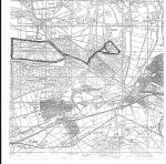
Edwinstowe, Birklands, Ollerton and Rufford

Upper Village & Church

Hazel Grove and Mill Lane


Map of Edwinstowe June 1638


Bartons Close including Boy Lane dated back to 1638

Map of Edwinstowe 1803

Acorn Article written by Lawson Little

Enclosure Map 1821

Plan of Edwinstowe 1897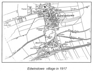
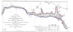
Water Meadows – acknowledge Adrian Gray


Plan for Edwinstowe Crossroads 1919-1920
Church Yard extension Plans click here to view plans

1929

1929

Map Edwinstowe c1930

WW2 & POW huts ( Agricultural Hostel). 1950s

Edwinstowe Station & Thoresby Colliery Junction OS Map 1960
 Edwinstowe Station OS Map 1960